top of page

OUR AERIAL SERVICES

drone%2520use_edited_edited.jpg

DRONE MAGNETOMETER SURVEYS

mapping_a_quarry.png

PRECISON PHOTOGRAMMETRY & 3D MODELING

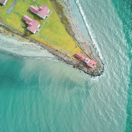
Image by Matthew Henry

INDUSTRIAL INSPECTIONS

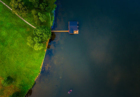
Aerial Lake House

RESIDENTIAL & COMERCIAL AIRBORNE PHOTOS/VIDEOS

DRONE MAGNETOMETER

Building from our experience working as a beta-tester for Geometric's new MFAM technology in 2017, we operate using the smallest, lightest and most sensitive mag sensor available on the market.

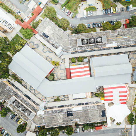
AIRBORNE PHOTOGRAMMETRY

Photogrammetry software can utilize images to create 3D renderings,

this adds a fast and accurate solution to many industries including:

-Stockpile Volumes
-Engineering
-Land Surveying
-Real Estate

INDUSTRIAL INSPECTIONS

Utilising top of the line professional drones we are proud to offer a wide variety of inspection services.

 -Tower inspections

-Powerline inspections

-Bridge inspections

-Confined space inspections

-Indoor inspections

-Low light inspections

PHOTOGRAPHY AND VIDEO


From Commercial Real Estate Photography and Video to Residential Photography we have a solution for any need.


Contact us today for a free estimate.

Aerial Lake House

CONTACT US

FERA UAV delivers quality service at an affordable rate. Get in touch today for a free estimate .

Thanks for submitting!

Original.png
bottom of page